Tropical cyclones cause a great deal of damage, destruction and loss of human lives every year. Meteorological agencies and other organizations around the world monitor tropical cyclones as they develop, and work to forecast and understand them in order to provide advance warnings that can lessen their damaging effects. The
WMO Tropical Cyclone Programme is tasked with establishing nationally- and regionally-coordinated networks and procedures to ensure that the loss of life and damage caused by tropical cyclones are minimized.
In order to predict and monitor the development and movement of tropical cyclones, forecasters use observations from a variety of sources including satellites, ocean buoys, ships, commercial aircraft and land-based radar. But some of the most critical information comes from the airplanes that fly around and even through tropical cyclones. These airplanes are specially equipped and loaded with instruments that measure various meteorological and atmospheric conditions. One of the main instruments used is the small, tube-shaped
dropsonde. As an airplane flies through a tropical cyclone, the crew drops sondes - often as many as 25-30 per flight - out of the plane. Each dropsonde is equipped with a small parachute and a GPS location system, as well as numerous sensors and gauges. As it floats down through the layers of the cyclone all the way to the ocean, the dropsonde collects and sends data on conditions such as wind speed, temperature, humidity and air pressure.
These specialized flights are crucial because of their ability to directly measure the specific and real-time conditions in a tropical cyclone, rather than relying on data and observations from more removed, distant instruments such as those based on land or in space. It can be quite a rough ride - most pilots do everything they can to avoid flying through bad weather. But thanks to those who willingly fly directly into it, scientists and forecasters have more in-depth, accurate and timely information to aid them in understanding and predicting tropical cyclones. They then use this information to provide early warnings to those in the path of a storm, allowing them to prepare and take action to reduce or avoid its devastating impacts.
Additional information and educational resources:
Students can learn to track and chart tropical cyclones:


 ©
NOAA/OAR/AOML Hurricane Research Division
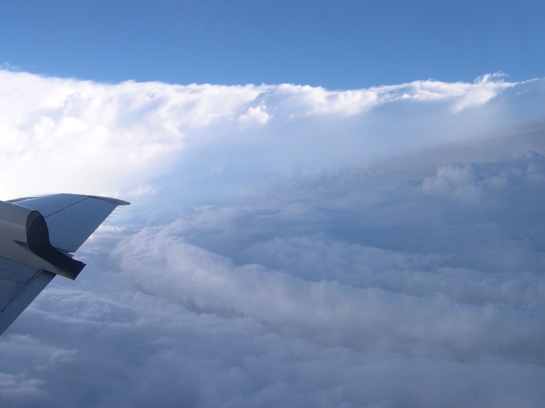
A NOAA aircraft flies through the eyewall of Hurricane Isabel
©
NOAA/OAR/AOML Hurricane Research Division
A NOAA aircraft flies through the eyewall of Hurricane Isabel